Description
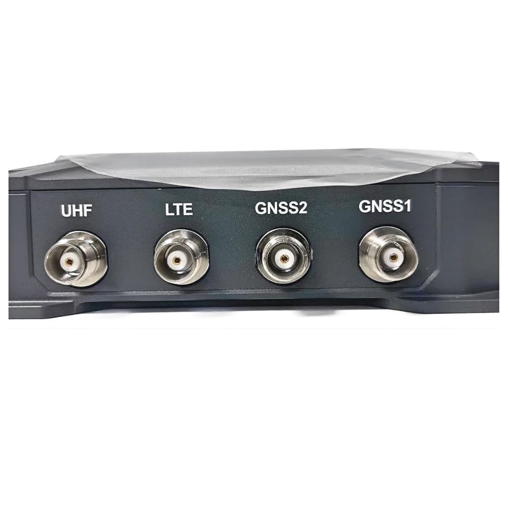
One of the key features of the RB3 GNSS is its multi-frequency capability, allowing it to track signals on several bands from different satellite constellations. This significantly improves the accuracy and speed of positioning, making it an ideal solution for high-precision tasks. The receiver also incorporates advanced anti-jamming and anti-interference technologies, ensuring that it can maintain performance even in areas with high signal interference or multipath effects.
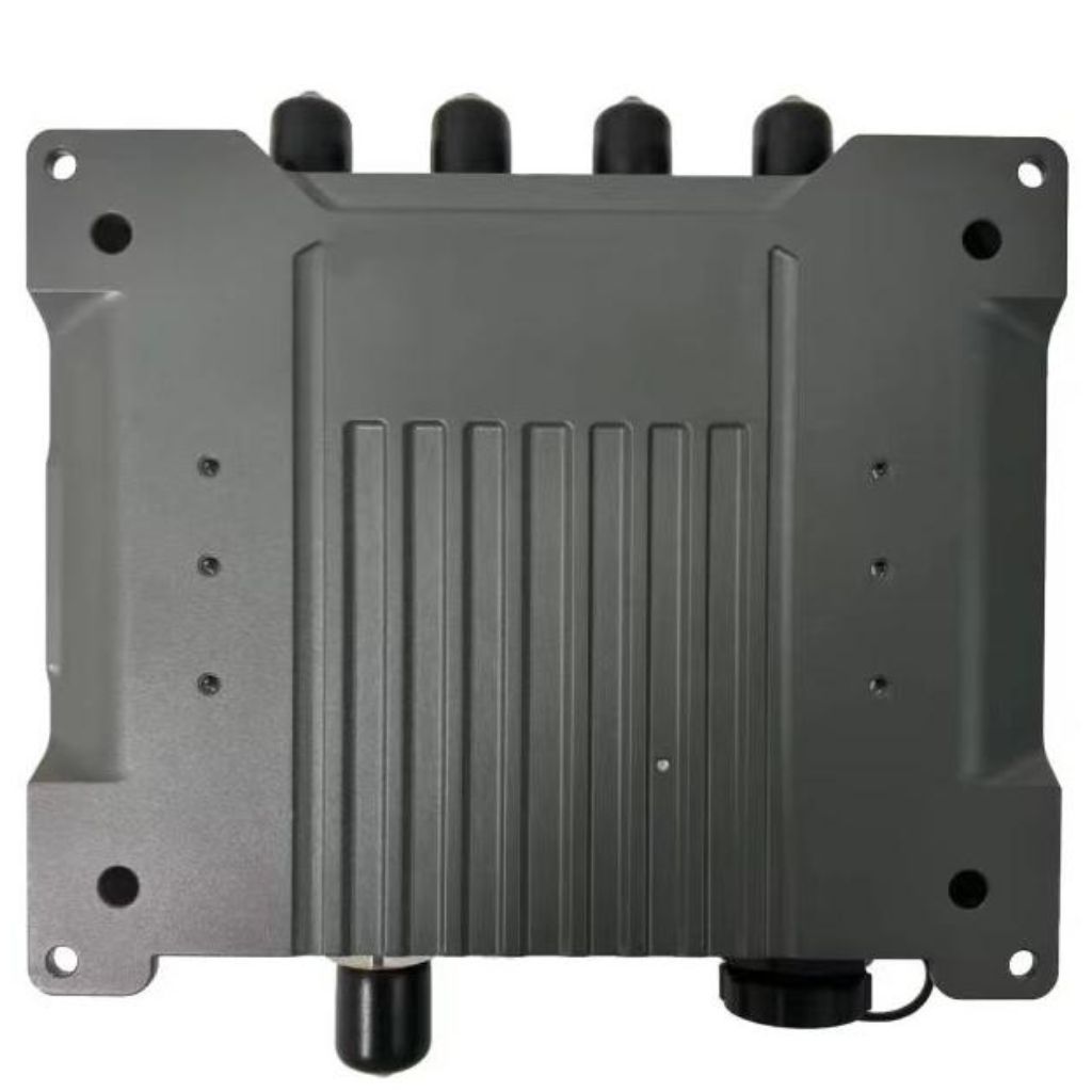
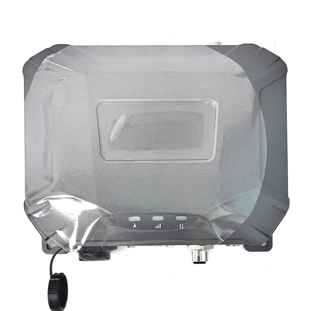
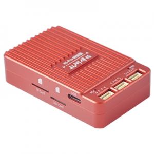
The RB3 GNSS receiver is designed with user convenience in mind. It offers easy integration with a variety of systems and platforms, making it compatible with different surveying and mapping software. Its compact, durable design ensures that it can withstand harsh field conditions, providing reliable performance in extreme weather or rugged terrains. Whether it’s used in agriculture for precision farming or in construction for machine control, the RB3 GNSS delivers real-time data that helps improve efficiency and accuracy.
Additionally, the RB3 GNSS supports real-time kinematic (RTK) positioning, which offers centimeter-level accuracy, critical for tasks that require the highest precision. With RTK capabilities, users can achieve fast and accurate measurements, reducing the time spent on data collection and post-processing.
High Precision Positioning
RB3 GNSS provides centimeter-level accuracy, making it ideal for applications requiring precise location data. This is achieved through advanced algorithms and multi-frequency support, which reduces errors caused by atmospheric conditions and multipath effects.
Multi-Constellation Support
The system supports multiple satellite constellations, including GPS, GLONASS, Galileo, and BeiDou. This ensures a higher number of visible satellites, enhancing positioning accuracy and reliability even in challenging environments such as urban canyons or dense forests.
Real-Time Kinematic (RTK) Capabilities
RB3 GNSS offers RTK positioning
which is essential for applications needing real-time, high-precision location data. RTK provides immediate corrections, significantly improving the accuracy of the GNSS signals.
Robust Interference Mitigation
The system includes advanced interference detection and mitigation technologies. This ensures reliable performance in environments with high levels of electromagnetic interference, such as near cell towers or radio frequency emitters.
Low Power Consumption
Designed with efficiency in mind, RB3 GNSS consumes minimal power, making it suitable for battery-operated devices and applications where power efficiency is critical.
Wide Operating Temperature Range
RB3 GNSS operates effectively in a broad range of temperatures, from -40°C to 85°C, ensuring reliable performance in diverse climates and challenging environmental conditions.
Compact and Rugged Design
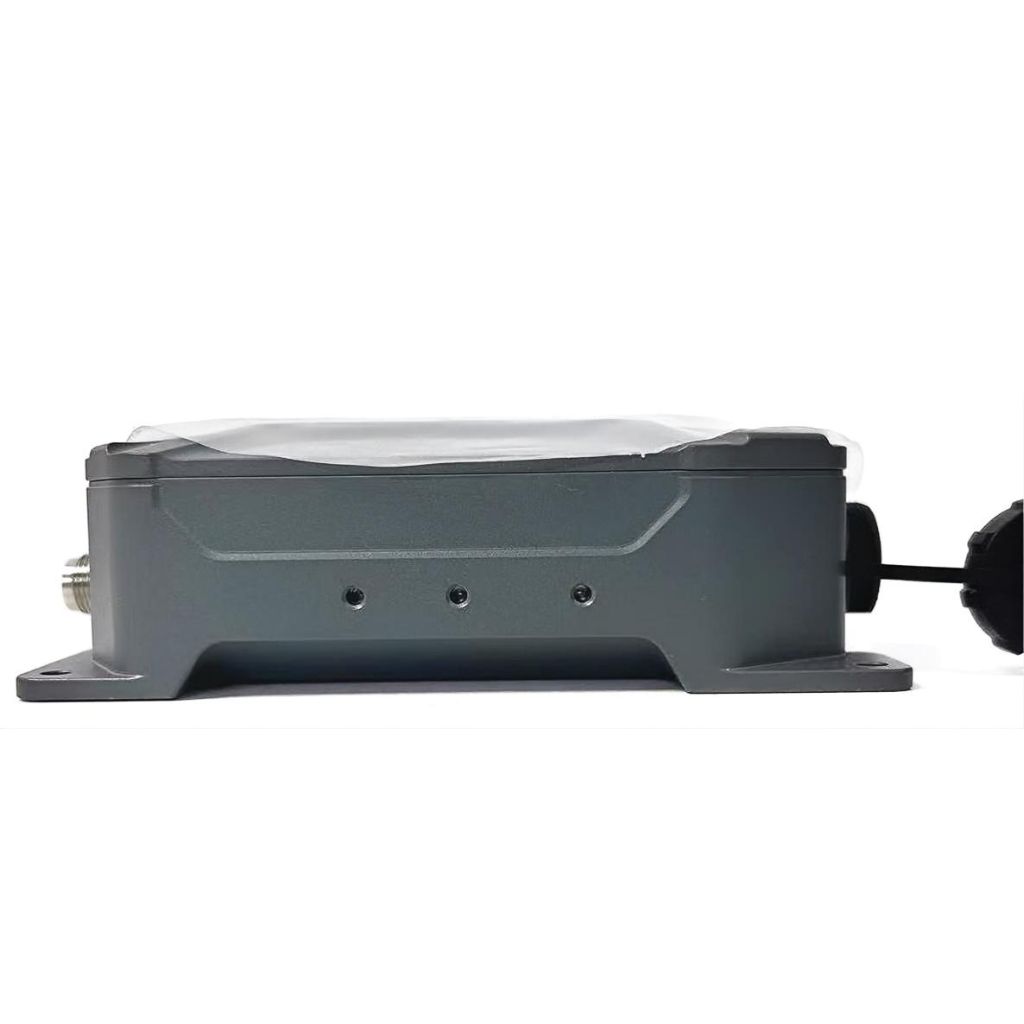
The RB3 GNSS device is compact and built to withstand harsh conditions, including dust, water, and vibrations, making it suitable for outdoor and industrial use.
Easy Integration and Connectivity
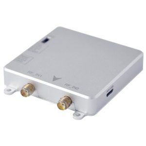
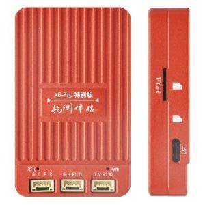
With multiple interface options such as USB, UART, and SPI, RB3 GNSS is easy to integrate into various systems. Its compatibility with standard protocols simplifies the integration process in existing platforms.
Features
Security is paramount in satellite navigation systems. RB3 GNSS includes features like anti-spoofing and encryption, safeguarding against unauthorized access and signal manipulation.
What is RB3 GNSS used for?
RB3 GNSS is used for various applications that require precise positioning data, including surveying, agriculture, autonomous vehicles, marine navigation, and geospatial data collection. Its high accuracy and reliability make it suitable for critical navigation tasks.
How accurate is RB3 GNSS?
RB3 GNSS offers high precision with accuracy up to ±1 centimeter when using Real-Time Kinematic (RTK) positioning. For standalone use, it provides accuracy within ±2.5 meters.
What satellite constellations does RB3 GNSS support?
RB3 GNSS supports all major satellite constellations, including GPS (USA), GLONASS (Russia), Galileo (EU), and BeiDou (China). This multi-constellation support enhances positioning accuracy and reliability.
Can RB3 GNSS be used in extreme temperatures?
Yes, RB3 GNSS is designed to operate in a wide range of temperatures, from -40°C to 85°C, making it suitable for use in extreme climates and harsh environmental conditions.
How does RB3 GNSS handle interference?
RB3 GNSS incorporates advanced interference detection and mitigation technologies, ensuring reliable operation even in areas with high electromagnetic interference. This makes it effective in environments near radio frequency emitters or cell towers.
Is RB3 GNSS power-efficient?
Yes, RB3 GNSS is designed for low power consumption, making it ideal for battery-operated devices and applications where power efficiency is crucial.
What interfaces are available for RB3 GNSS integration?
RB3 GNSS provides multiple interface options, including USB, UART, and SPI, allowing for easy integration into various systems and devices. It also supports standard data output formats such as NMEA 0183 and RTCM 3.3.
Can RB3 GNSS be used for real-time applications?
Absolutely. RB3 GNSS supports Real-Time Kinematic (RTK) positioning, providing real-time, high-precision location data. This is essential for applications that require immediate and accurate positioning information.
Is RB3 GNSS secure against spoofing and other threats?
Yes, RB3 GNSS includes enhanced security features such as anti-spoofing and encryption to protect against unauthorized access and signal manipulation, ensuring the integrity and reliability of the positioning data.
How quickly can RB3 GNSS acquire a position fix?
RB3 GNSS has a quick Time to First Fix (TTFF), with a cold start taking less than 30 seconds and a hot start taking less than 5 seconds, ensuring rapid availability of positioning data.

