Description
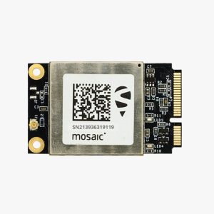
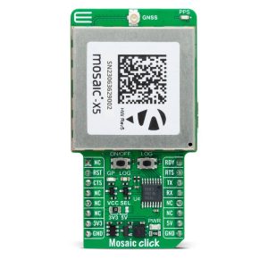
The SparkFun Triband GNSS receiver is the ultimate solution for high-precision positioning, which offers support for three global navigation satellite system (GNSS) constellations—GPS, Galileo, and GLONASS. It provides more satellites and robust signal reception for better accuracy and reliability. This compact receiver can easily intergrated which is great choice for UAVs (Unmanned Aerial Vehicles), robotics, surveying, geospatial applications, and other industries that require precise location data. This receiver board features the powerful Septentrio mosaic-X5 module, providing a seamless way to utilize L1, L2, and L5 GNSS bands simultaneously
It’s featuring advanced technology and compatibility with most GNSS systems; the SparkFun Triband GNSS is built for versatility, providing centimeter-level precision at high update rates. This module ensures unparalleled accuracy for both static and dynamic applications. Its low power consumption makes it perfect for battery-powered systems, while its rugged design ensures durability in tough environments. The Septentrio’s advanced anti-jamming & spoofing proprietary AIM+ technology enhances the receiver’s reliability by mitigating interference and countering spoofing threats, ensuring robust performance in challenging environments.
Whether you’re working on outdoor projects, robotic navigation, or precise geospatial mapping, the SparkFun Triband GNSS receiver is an essential tool for your technology stack.
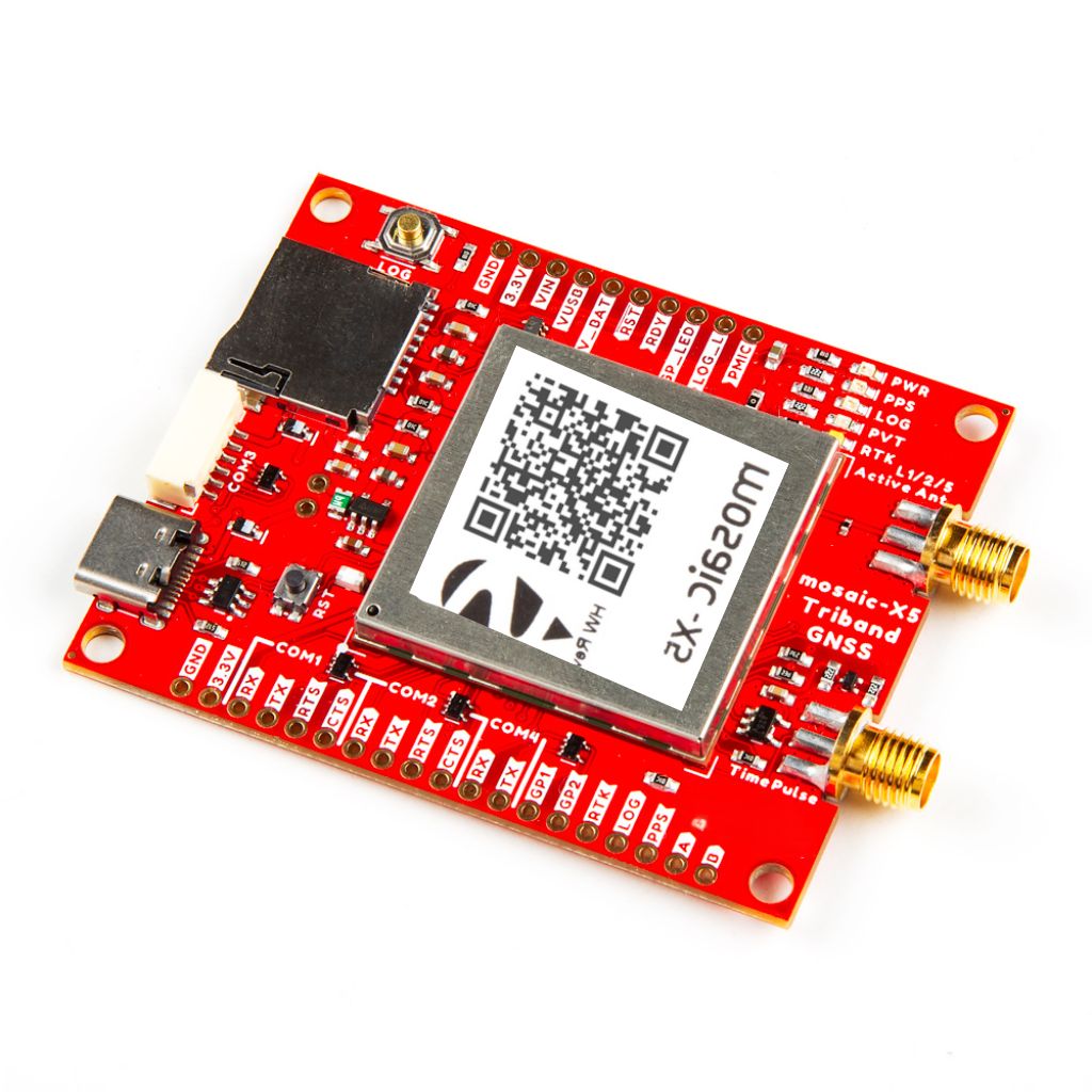
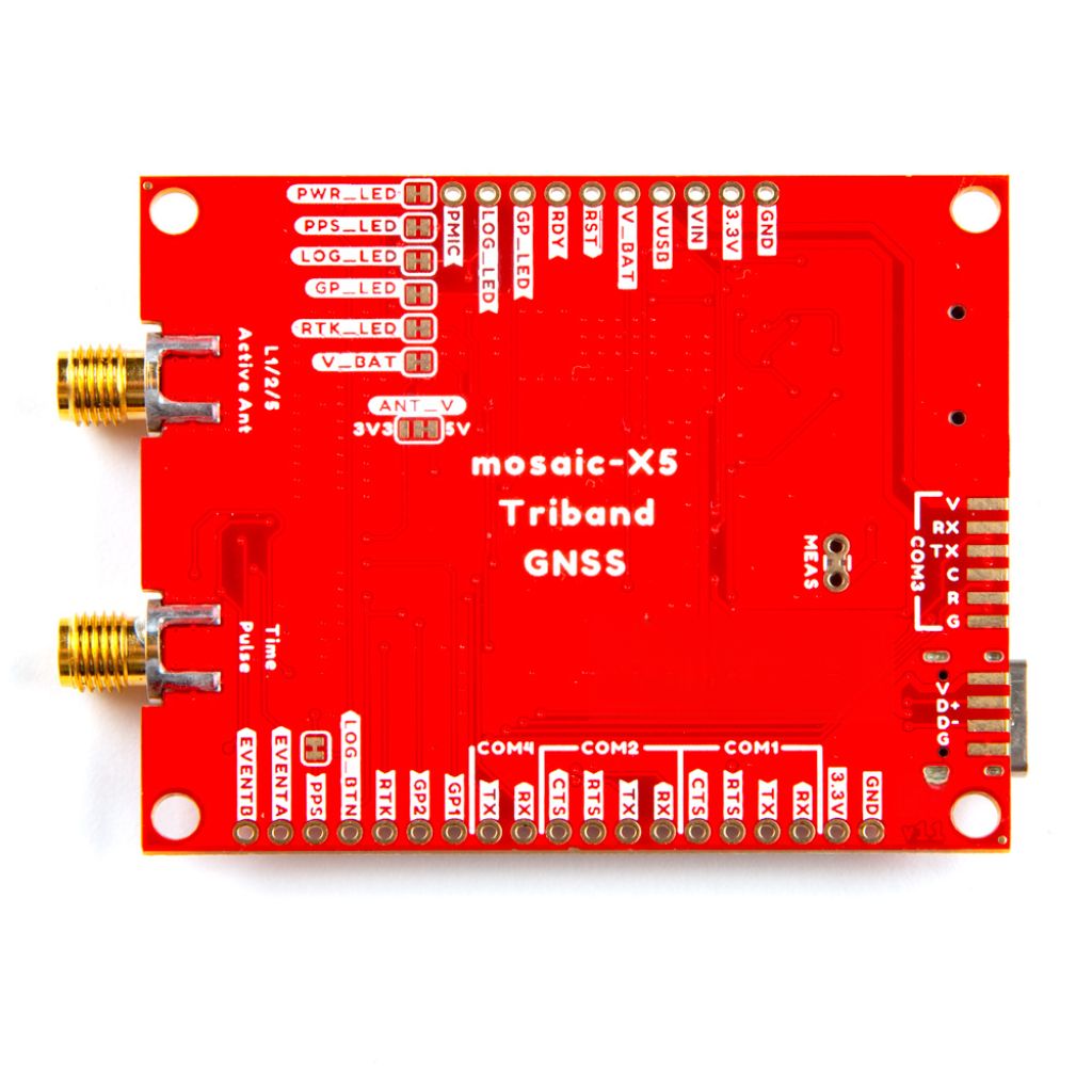
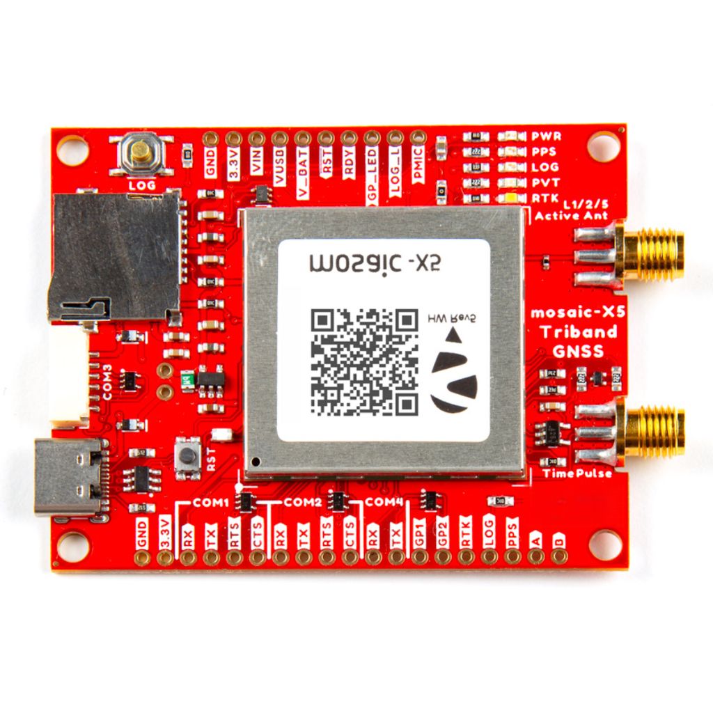
Triband GNSS RTK Breakout:
- mosaic-X5 GNSS Receiver
- USB-C Connector
- µSD Card Slot (up to 32GB w/ FAT32 file system)
- SMA Connectors:
- GPS Antenna (Active, Multi-band)
- PPS Output (3.3V)
- Status LEDs
- Power (Red)
- Pulse-Per-Second (Yellow)
- Data Logging (Green)
- Position/Velocity/Time Solution (Blue)
- RTK Mode (White)
- Buttons
- I/O Logic-Level: 3.3V
- 6-pin JST GH connector (GHR-06V-S)
- ESD Protection Diodes
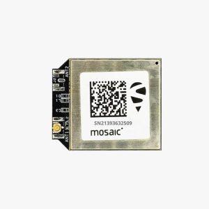
MOSAIC-X5 module features:
- 31.0 x 31.0 x 4.2 mm LGA package
- Supports all-constellation multi-frequency on-chip RTK positioning and dual-antenna heading solution
- Supports GPS L1/L2, BDS B1I/B2I/B3I, GLONASS G1/G2, Galileo E1/E5b and QZSS L1/L2
- All-system multi-frequency RTK engine and advanced RTK technology
- AIM+: Industry-leading Anti-jamming, Anti-spoofing Interference Monitoring and Mitigation
- IONO+: Advanced protection against ionospheric disturbances to GNSS signals
- APME+: a posteriori multipath estimator for code and phase multipath mitigation
- LOCK+: superior tracking robustness under heavy mechanical shocks or vibration
- RAIM+: Advanced Receiver Autonomous Integrity Monitoring
Performance Specifications:
Frequency
- GPS L1C/A, L1PY, L2C, L2P, L5
- BDS B1I, B1C, B2a, B2b, B2I, B3
- GLONASS L1CA, L2CA, L2P, L3 CDMA
- Galileo E1, E5a, E5b, E5 AltBoc, E6
- QZSS L1C/A, L1C/B, L2C, L5
- Navic L5
- SBAS: Egnos, WAAS, GAGAN, MSAS, SDCM (L1,L5)
- On-module L-band
Single point positioning (RMS):
- Horizontal: 1.2 m
- Vertical: 1.9 m
- Time Precision (xPPS out): 5 ns
- Data Update Rate: 100 Hz
DGPS (RMS):
- Horizontal: 0.4 m
- Vertical: 0.7 m
- Cold start < 45 s
- Initialization Time < 7 s (typical)
- Data Update Rate: 100 Hz
RTK (RMS):
- Horizontal: 0.6 cm + 0.5 ppm
- Vertical: 1cm + 1 ppm
- Data Update Rate: 100 Hz
- Differential Data – RTCM V2.x, V3.X (MSM included), CMR v2.0/CMR+ (input only)
- Data Format – NMEA-0183, v2.3, v3.03, v4.0, RINEX v2.x, v3.x, Septentrio Binary Format (SBF)
Physical Characteristics:
- Packaging: 239 pin LGA
- Dimension: 31.0 × 31.0 × 4.2 mm
- Weight: 6.8g
Environmental Specifications:
- Working temperature: -40 °C ~ +85 °C
- Storage temperature: -55 °C ~ +85°C
- Humidity: 95% No condensation
- Vibration: MIL-STD-810G
Communication Interfaces:
- 4 × UART (3 with hardware flow control)
- 1 × USB (2.0, HS)
- 1 × Ethernet (RMII/MDIO), 10/100 Mbps
- 1 x SD memory card
- 2 x Event inputs
- 2 x GPIO
- 1 x PPS out
Triband GNSS support: Works with GPS, Galileo, and GLONASS constellations for enhanced accuracy.
High precision: Provides accurate positioning with sub-meter precision in real-time.
Low power consumption: Ideal for battery-powered applications like drones or mobile systems.
Easy integration: Compatible with various development platforms, including Arduino and Raspberry Pi.
Compact design: Lightweight and durable for flexible use in UAVs, robotics, and other mobile systems.
Advanced filtering and correction: Enhances signal quality for superior performance in challenging environments.
Broad application range: Perfect for UAV navigation, geospatial data collection, surveying, and robotics.
Application of Triband mosaic:
UAVs: GNSS receivers facilitate high-resolution aerial data collection, precision flight path control, obstacle avoidance, and precise navigation and geospatial mapping in drones, vital for uses such as environmental monitoring, infrastructure inspections, and drone-based land surveys.
Robotics: GNSS receivers improve autonomous robots’ capacity to function in outdoor areas with little assistance from humans by giving them precise positioning and navigation. Robotic delivery services, automated warehouse systems, and search and rescue missions are a few examples of applications.
Surveying and Mapping: GNSS technology provides sub-centimeter accuracy for topographic surveys, urban planning, and infrastructure construction, making it perfect for gathering geospatial data in isolated or challenging-to-reach locations. When compared to conventional surveying techniques, it saves time and labor.
Agriculture: GNSS receivers help farmers improve planting, irrigation, and harvesting through land surveys and crop monitoring in precision agriculture. Through accurate field mapping and automated machinery guiding, they contribute to a reduction in resource waste while simultaneously increasing yield and sustainability.
Geospatial Research: These receivers support advanced geodesy, tectonics, and meteorology investigations for professional and academic application in location tracking and GNSS-based research. They supply the dependable, highly accurate data needed for experimentation, modeling, and simulations.
Outdoor Activities: These devices provide precise navigation for hikers, trekkers, and campers that require dependable GNSS data. By offering real-time position updates and route planning, they improve safety and exploration in isolated areas.
What is the accuracy of the SparkFun Triband GNSS receiver?
Sub-centimeter precision is possible with the SparkFun Triband GNSS receiver, contingent on ambient factors and satellite availability.
Can I use this GNSS receiver with my drone?
Yes! With its ability to provide exact location data for navigation and geospatial mapping, the SparkFun Triband GNSS receiver is ideal for use in UAVs.
Is the SparkFun Triband GNSS compatible with Arduino or Raspberry Pi?
The receiver is compatible with both Arduino and Raspberry Pi, making it easy to integrate into various projects.
What power source does the SparkFun Triband GNSS require?
Due to its low power consumption, the receiver is an ideal choice for battery-powered devices such as portable systems and drones.
How do I integrate the SparkFun Triband GNSS into my project?
The receiver is easy to integrate through standard communication protocols like UART or I2C, and we offer detailed documentation and tutorials to get you started.

